One URL. Every jurisdiction. Field Maps just works.
Across the United States there are well over a thousand state, county, parish and CAD services
publishing public parcel data — each with its own URL, its own schema and its own outages.
This service puts a single stable mount point in front of all of them.
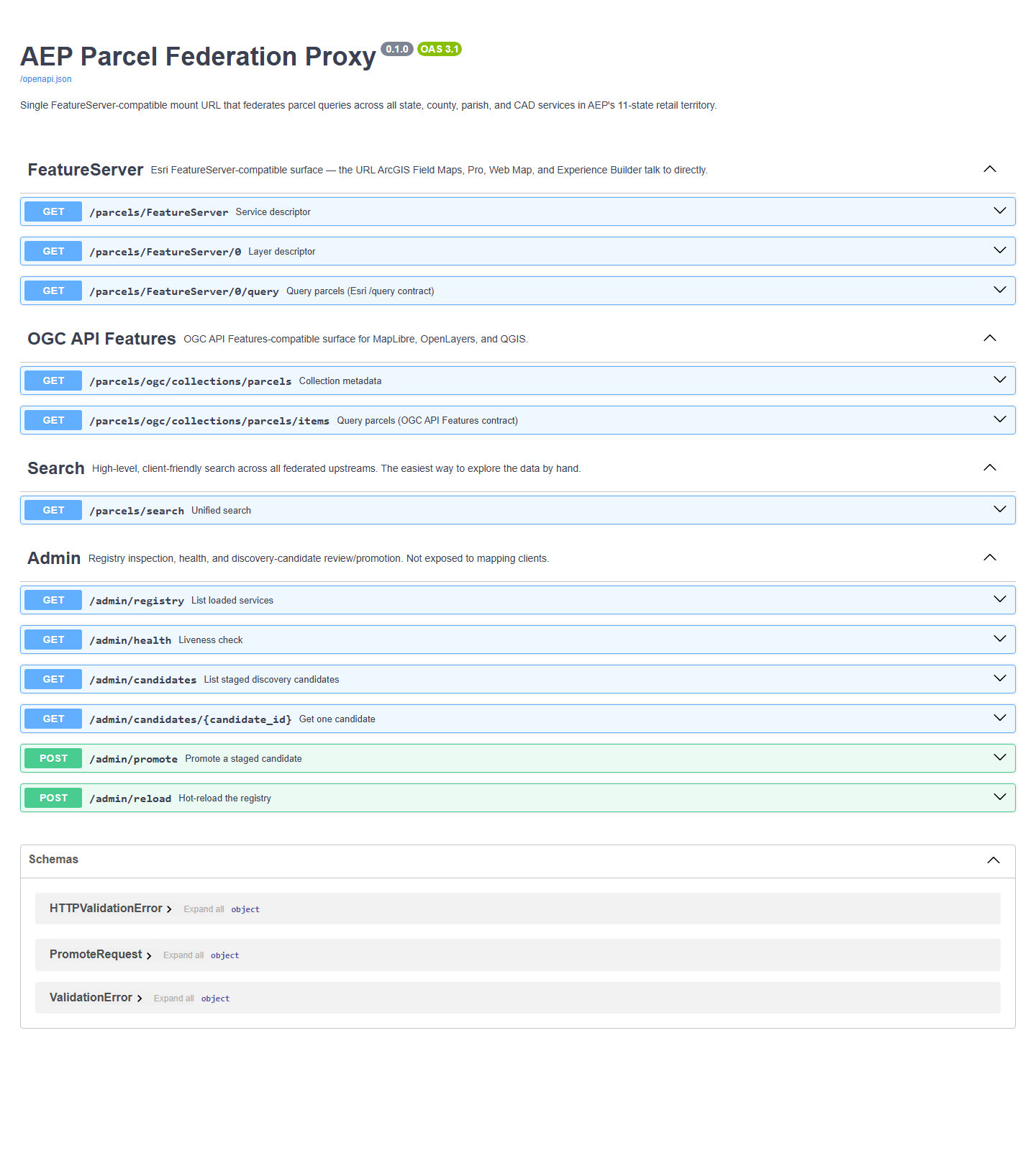
Swagger UI is served automatically and grouped into FeatureServer, OGC API Features,
Search and Admin, with a Try it out button on every
route. ReDoc is served alongside it, and the OpenAPI document is available for client
generation.
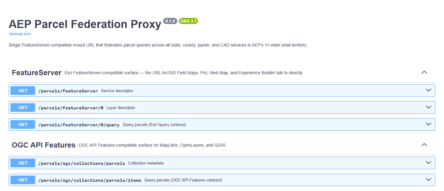
FeatureServer — service descriptor, layer descriptor and the Esri /query contract.
OGC API Features — collection metadata and items, for MapLibre, OpenLayers and QGIS.
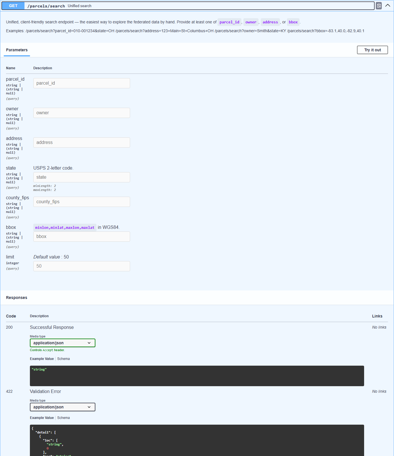
Search — one high-level endpoint across every federated upstream.
Admin — registry inspection, health and discovery-candidate review, never exposed to mapping clients.
FastAPIOpenAPI 3.1Redis + LRUDocker
/docs — Swagger UI
Route groups map to client contractsEach group is exactly what one class of mapping client already knows how to speak.
Usage
A handful of requests covers most of it
run it locally
pip install -e .
uvicorn parcel_proxy.main:app --reload --port 8080# Swagger UI
open http://localhost:8080/docs
# ReDoc
open http://localhost:8080/redoc
# Or with Docker Compose
docker compose -f deploy/docker-compose.yml up -d
query it
# Layer descriptor — what Field Maps asks for firstcurl'…/parcels/FeatureServer/0?f=json'# Spatial envelope query, as GeoJSONcurl'…/parcels/FeatureServer/0/query?where=1=1&\
geometry=-83.0,40.0,-82.9,40.1&\
geometryType=esriGeometryEnvelope&f=geojson'# Search by parcel ID, address or owner — any jurisdictioncurl'…/parcels/search?parcel_id=010-001234&state=OH'curl'…/parcels/search?address=1+main+st+columbus+oh'
FeatureServer groupThe Esri-compatible surface — the URL ArcGIS Field Maps, Pro, Web Map and Experience Builder talk to directly.Unified searchThe friendliest way to explore the data by hand — parcel ID, address or owner, normalized across upstreams.
◆ Adapters
Whatever the county happens to publish
Each upstream is wrapped by an adapter implementing one protocol, so adding a jurisdiction
is a registry entry rather than a code change.
Adapter
Upstream type
featureserver
Esri FeatureServer
mapserver
Esri MapServer
ogc_features
OGC API Features
wfs
OGC WFS
regrid
Regrid commercial parcel API
webscrape
Fallback for jurisdictions with no service
◆ Registry growth In progress
Discovery, with a human in the loop
A back-office discovery tool crawls ArcGIS Online, data.gov and public search for candidate
parcel endpoints, walks each ArcGIS REST directory, and stages the parcel-shaped ones for
review. Nothing it finds can reach a live map on its own.
Candidates are forced to enabled: false by a model validator — a constraint, not a convention.
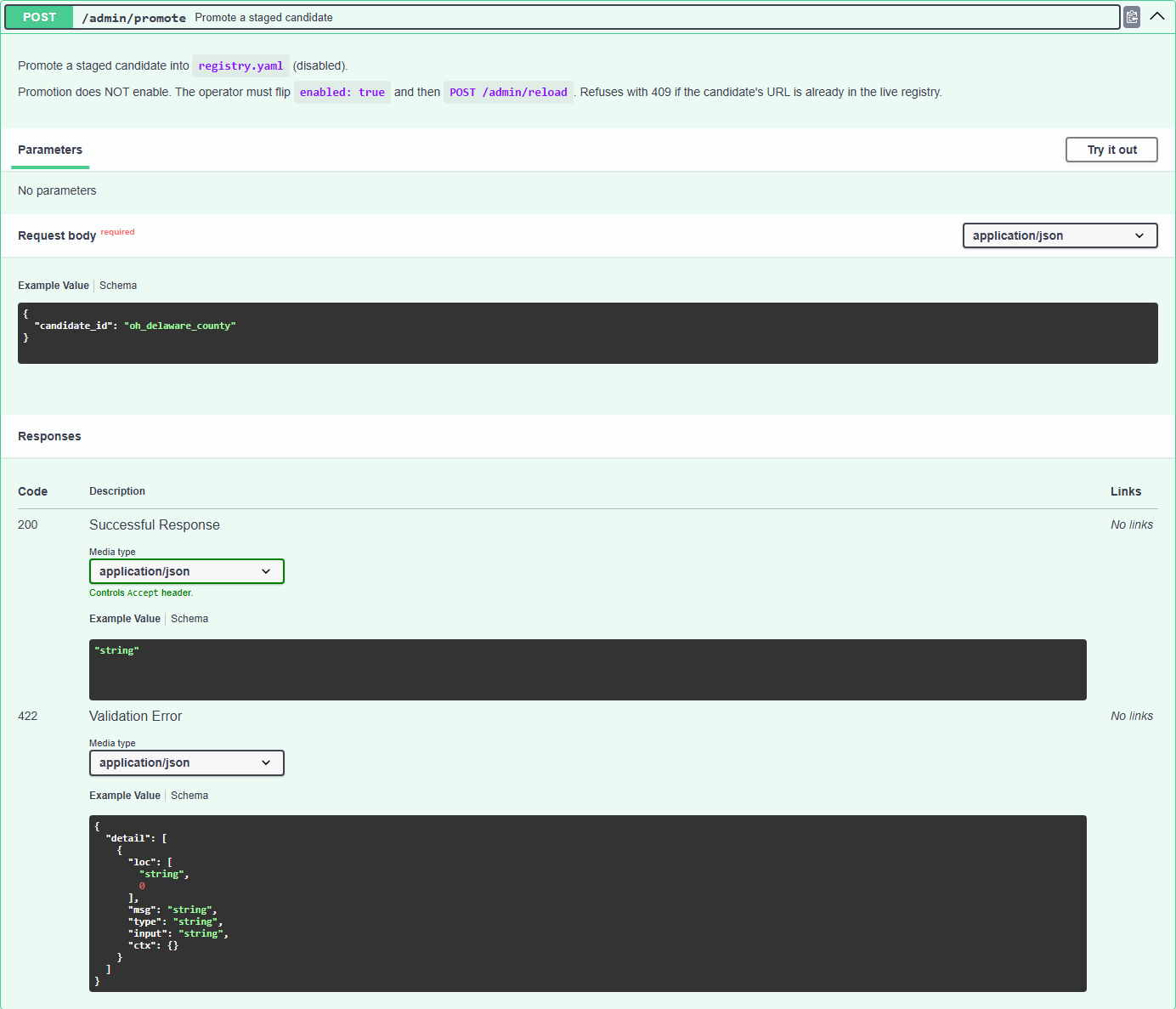
Promotion writes a disabled entry; an operator must then flip the flag and reload. Two human acts, minimum.
The runtime query path imports nothing from the discovery package, so a discovery failure cannot break the proxy.
The walker respects robots.txt, caps per-host concurrency, throttles, and refuses to retry on 429 or 503.
Admin promotionReviewed candidates are promoted into the registry disabled, then enabled deliberately.
* The discovery tool is partially shipped — models, configuration, the staging store and robots.txt enforcement are implemented; the walker, seed harvest, scraper, pipeline, admin endpoints and CLI are still being built. The runtime query path is unaffected either way.
◆ Source-code SDK for every solution
Point it at your service territory
Tell us the states and counties your crews actually work in, and we will demo the federation against those upstreams.